Some posts on this site contain affiliate links. If you book or buy something through these links, I earn a small commission (at no extra cost to you). Take a look at my privacy policy for more information.
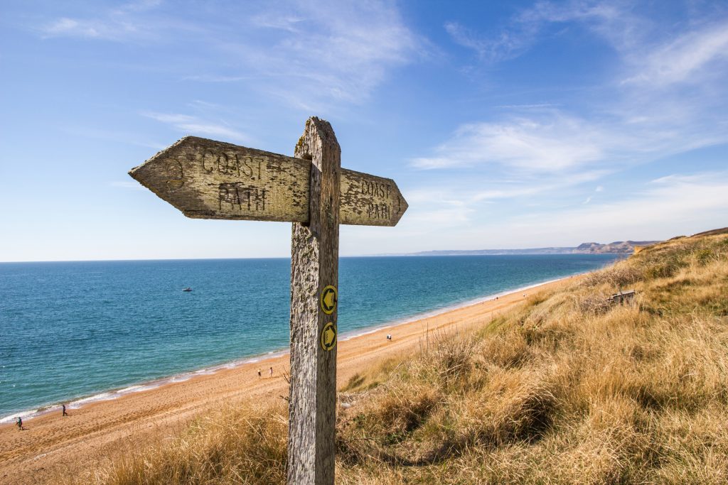
Looking for some fab new Dorset coast walks? This list of short coastal walks are all under 4 miles, so should take no more than 1.5-2 hours to complete.
Some are as short as 1 mile, and some can be shortened if you return via bus. On the other hand, many of them can be extended into even longer walks if you fancy it!
Most of these walks are very well signposted so it’s easy to set out from the car park and hit the trail. I’ve also included a link to more detailed instructions in case you want a map or step-by-step directions. The Dorset coast is a stunning place for walking and hiking, and there’s a lot to discover. So get out and explore some new places! Enjoy…
Short Dorset Coastal Walks Map
Linear Dorset Coast Walks
1. Lulworth to Durdle Door
- Distance: 1.5 miles each way.
- Start: Lulworth Cove Car Park, BH20 5RS
- Link to my Route Guide
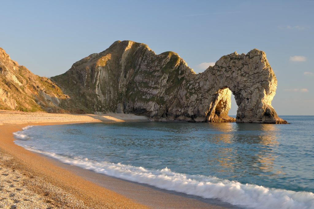
This walk explores two of the most iconic places on Dorset’s Jurassic Coast. Lulworth is an almost-circular cove, backed by high white chalk cliffs. Just next door – over the steep Hambury Tout – lies Durdle Door. This natural limestone arch over the sea has become the poster-child for Dorset’s coastal walks! It’s easy to see why this is one of the most popular photo spots in the county.
You can do the walk in either direction, but my preference is to start and finish in Lulworth Cove – as there’s a great pub there which is perfect for a post-walk dinner! There are also plenty of shops, cafes, and a visitor centre. From the back of the Lulworth Cove Car Park, you simply need to follow the South West Coast Path towards Durdle Door. The route is well-signposted and fairly obvious. It’s a fairly steep climb in places – but the views are well worth it.
2. West Bay to Hive Beach
- Distance: 2.5 miles each way. Can also be extended into a 5.3-mile circular by going back inland via Burton Bradstock.
- Start: West Bay Road car park, DT6 4E
- Link
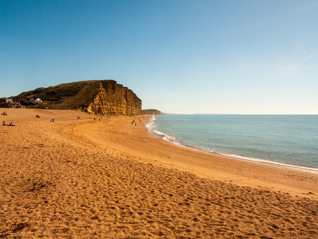
Walk up over the iconic golden cliffs at West Bay, overlooking the start of the 17-mile-long Chesil Beach, and follow the signposted path towards Hive Beach at Burton Bradstock. When you reach Hive Beach there’s an excellent restaurant, the Hive Beach Cafe. It’s in a prime position overlooking the beach, and has some of the best food in the area – so it’s usually pretty busy. But this is the perfect place to fuel up for the return walk!
READ MORE: 19 Things to do in Bridport and West Bay
3. Golden Cap
- Distance: 1 mile each way. Can also be extended into a 4-mile circular.
- Start: Seatown Car Park, DT6 6JU
- Route Guide: 4-mile Circular (follow steps 1-2 and then return the way you came for the linear option).
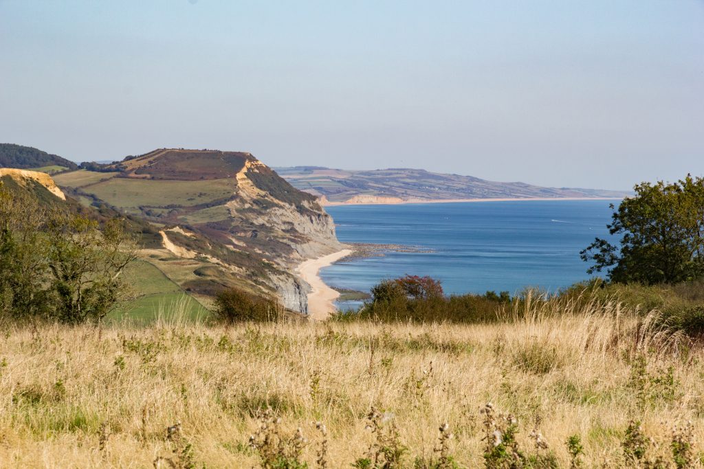
It’s about a 1-mile walk from the car park at Seatown to the top of the Golden Cap. At a height of 191 metres (627 ft), this towering yellow-faced cliff is the highest point on the whole south coast, so it’s well worth the climb!
To reach it, simply follow the waymarked South West Coast Path up to the peak. You can also extend the walk into a 4-mile circular, returning via this inland route. Alternatively, park at Langdon Hill car park and follow this easy 3-mile trail to avoid the steep climb.
4. Tyneham to Worbarrow Bay
- Distance: 1 mile each way.
- Start: Tyneham Car Park, BH20 5DE (£2 donation)
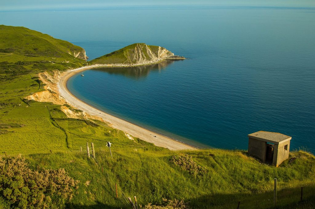
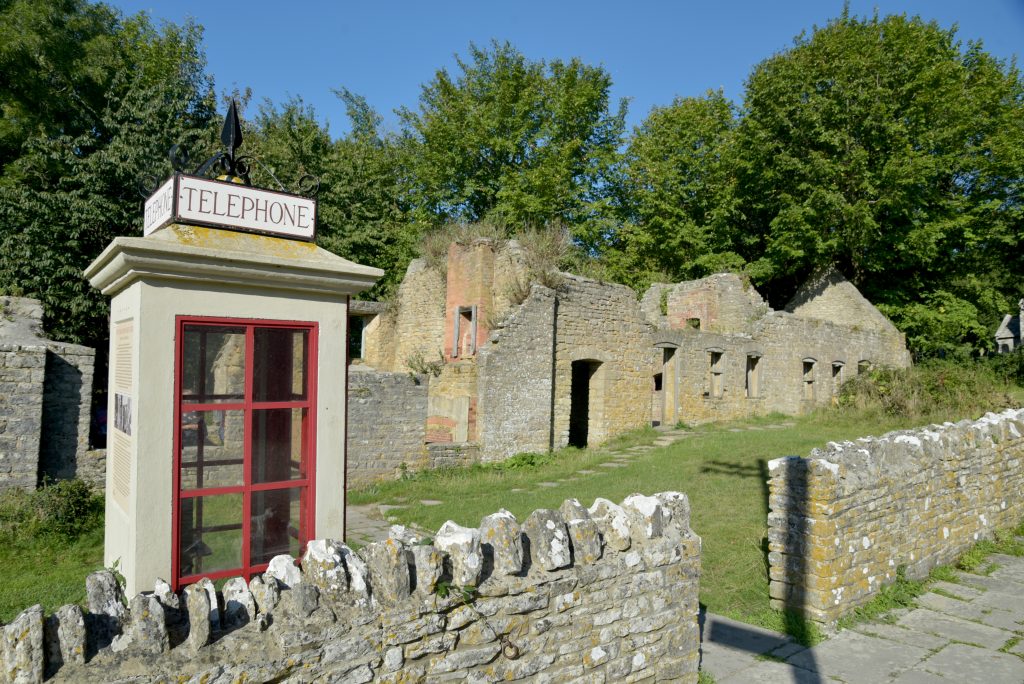
This is a really easy walk to one of my favourite spots on the Dorset Coast. There should be no need for a map or directions, simply follow the signposted walk from the car park to Tyneham Beach at Worbarow Bay. Don’t miss the chance to explore the village of Tyneham, which was abandoned during the forties so that the army could use the area for target practice.
Today, you can explore the ruins of stone cottages, as well as some restored buildings which act almost as a living museum. Once you reach Worbarrow Bay, you can push on to the top of the cliff which juts out at the eastern end of the bay, for some incredible coastal views.
Heads up: because both Worbarrow Bay and Tyneham Village are managed by the Ministry of Defence, access is limited to most weekends and school holidays. So be sure to check the Lulworth Ranges Access Times before visiting.
5. Kimmeridge Bay and Clavell Tower
- Distance: 1.5 miles each way. Can also be extended into a 5.2-mile circular.
- Start: Quarry Car Park, Kimmeridge, BH20 5PH
- Link
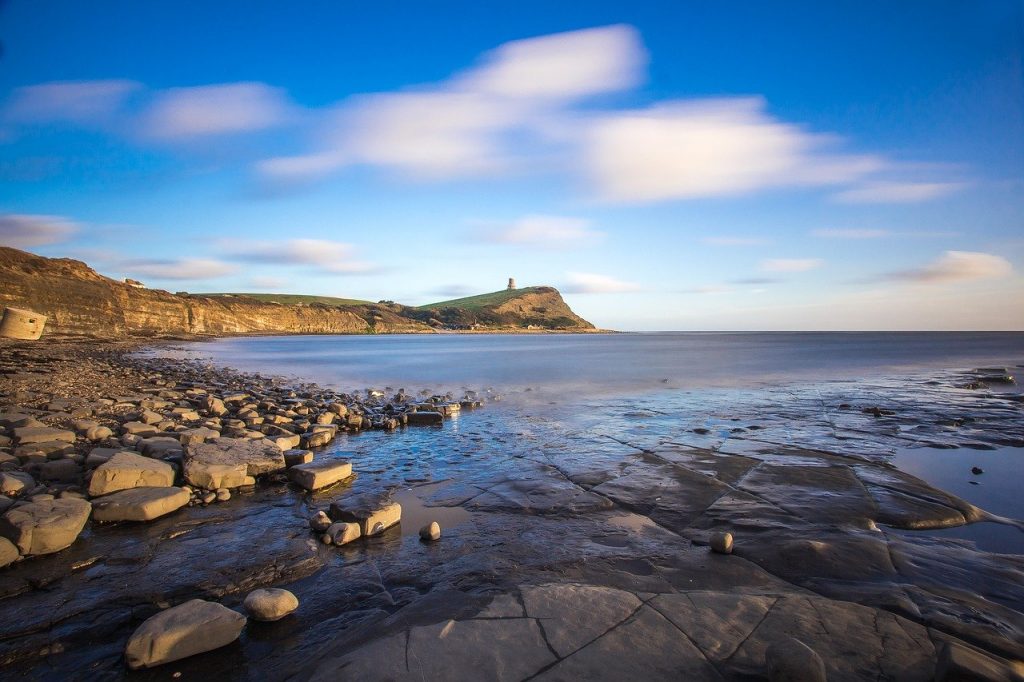
Park in the village of Kimmeridge and walk down to the bay following a small river through picturesque countryside. After spending some time exploring Kimmeridge Bay – hunting for fossils and inspecting the various rockpools – follow the South West Coast Path over the cliffs to Clavell Tower. This circular, Tuscan-style tower was built as a folly in 1830 by Reverend John Richards Clavell of nearby Smedmore House. From its vantage point on top of Hen Cliff, the tower affords some pretty spectacular coastal views.
If you want to extend the walk, the link above is for a full 5.2-mile circular trail which also explores further down the coast. The full route passes Rope Lake Head and Clavell’s Hard, as well as the brilliantly-named Cuddle.
6. Bowleaze to Smuggler’s Inn
- Distance: 2.5 miles each way. You can return via a bus from Osmington in order to avoid the walk back.
- Start: Bowleaze Coveway Car Park, DT3 6PW
- Route Guide
One of my favourite walks on the Dorset coast is the simple one along the cliffs from Bowleaze Cove in Weymouth, to the Smuggler’s Inn at Osmington Mills. This historic pub dates back as far as the 13th century, and was once a haunt for smugglers and pirates – hence the name. It was owned by Emmanuel Charles, leader of the notorious Charles Gang, in the 1820s, while the French smuggler Pierre Latour, aka ‘French Peter’, also sheltered here and – according to legend – once smoked out a customs officer hiding in the chimney!
The walk itself is a simple one. Set out over the cliffs from Bowleaze, following the signposts for Osmington Mills. Along the way, you’ll pass Goggin’s Barrow, a burial mound from the Bronze Age. At Osmington Mills you’ll find one of Dorset’s only waterfalls. It tumbles straight onto the beach, where the fingers of limestone rock jutting into the sea once made this a prime spot for smugglers.
RELATED POST: 16 Amazing Places to Eat in Weymouth
Circular Dorset Coast Walks
7. Old Harry Rocks
- Distance: 3.5 miles
- Start: South Beach Car Park, Studland, BH19 3AE
- Route Guide
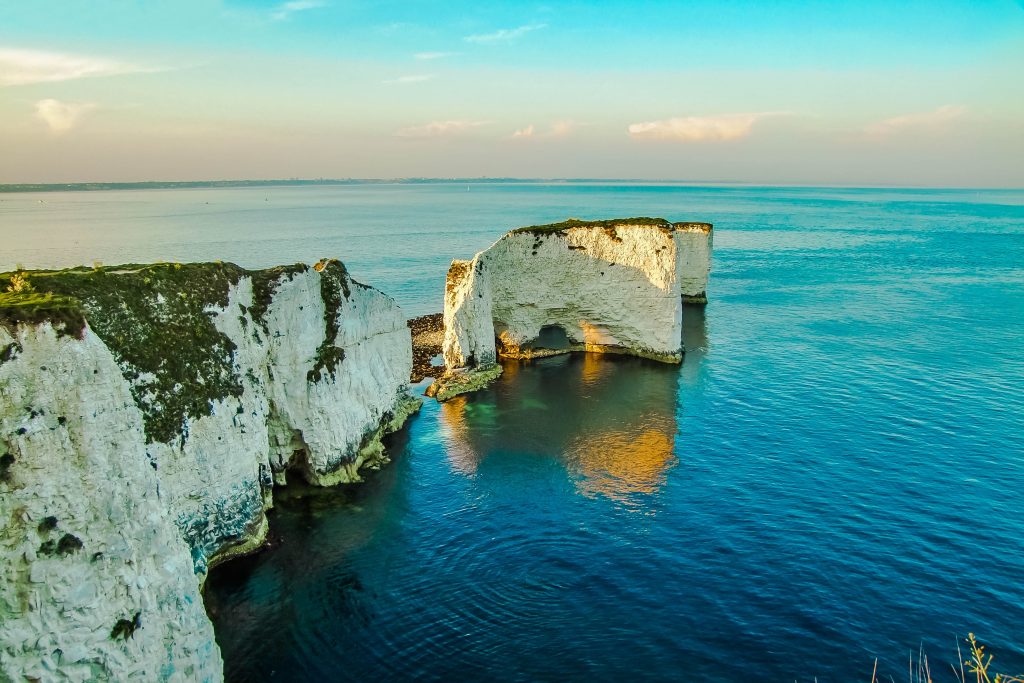
This short circular walk will take you to one of the most impressive sites on the Dorset coast. Setting out from the village of Studland, you’ll follow the coastal path out to the end of Handfast Point. This headland juts out into the sea, ending in a series of spectacular chalk stacks created by millions of years of erosion: Old Harry Rocks. Once upon a time, these stacks were part of a chalk band connected to the Isle of Wight. On clear days, you can see The Needles in the distance, which are all that remain of the other end of this band.
The walk back loops around the other side of the headland, then heads inland across Ballard Down. This area is dotted with Bronze Age barrows. This walk is particularly lovely in summer, because the chalk grasslands atop Handfast Point are covered with colourful wildflowers, orchids, and butterflies.
8. Portland Bill
- Distance: 3.9 miles
- Start: Portland Bill Car Park, DT5 2JT
- Route Guide
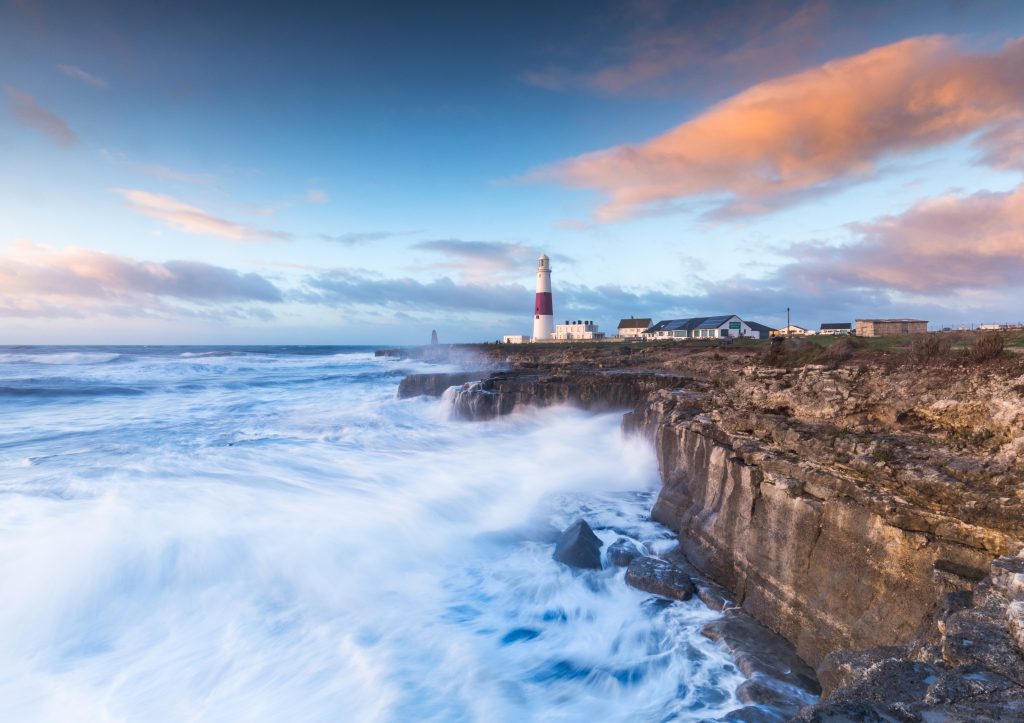
The Isle of Portland, connected to the mainland by the narrow strip of Chesil Beach, provides ample opportunities for coastal walks. For a nice, easy one, head to Portland Bill Lighthouse and follow the trail around the southern tip of the island.
This area of the coast was notoriously dangerous, so you’ll pass several lighthouses. The “newest” is the iconic red-and-white structure standing right at the tip of Portland, which was built in 1906. The route will take you through flower-filled grasslands, over rocky cliffs, and past several quarries. From these came the famous Portland Stone which built many iconic structures – including St Paul’s Cathedral in London.
9. Hengistbury Head
- Distance: 3.7 miles
- Start: Hengistbury Head Pay and Display Car Park, BH6 4EL
- Route Guide
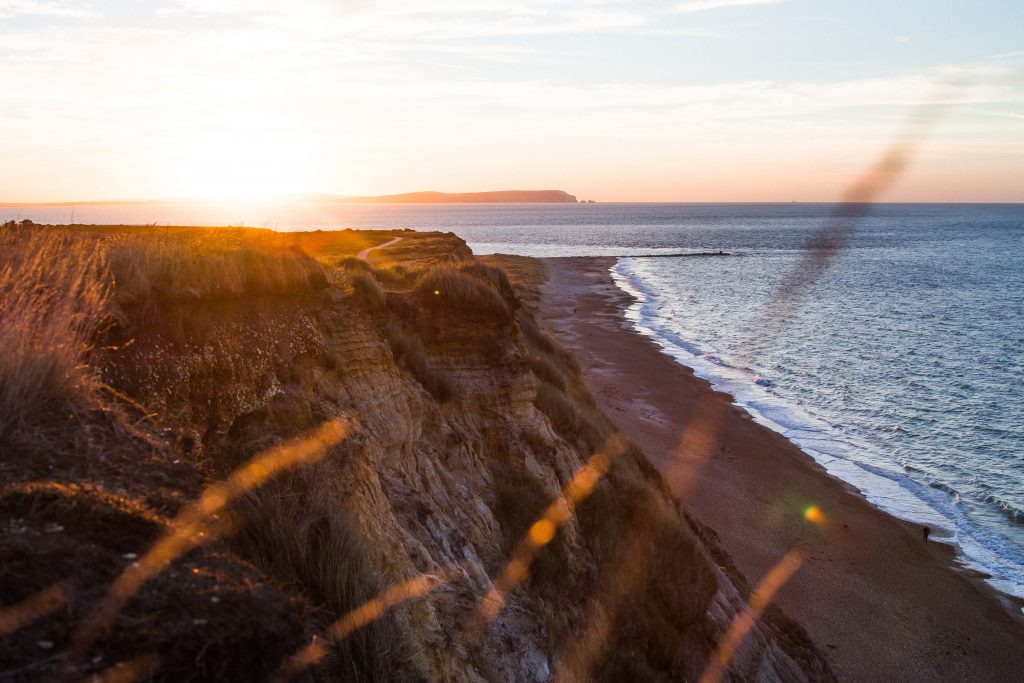
One of my favourite Dorset coast walks is the simple route up and around Hengistbury Head and Mudeford Sandbank. This is a nice easy walk so it’s perfect for families with small kids – I often meet my sisters here for a walk with my nieces and nephews.
This rugged headland juts into the sea between Bournemouth and Mudeford, a village in Christchurch. It’s a low cliff, so the climb is easy, and the top of the headland is covered with long grass, gorse bushes, and hummocks of heather. Although it’s a short walk, it takes in quite a few different environments – which means lots of wildlife spotting!
At the bottom of the hill, Mudeford Sandbank is a stretch of white sand dunes, lined with cheerfully painted beach huts. With price tags reaching nearly £200,000 these are some of the most expensive beach huts in the country! The route back leads through marshland and a short woodland trail, passing by the excellent Visitor Centre before reaching the car park.
READ MORE: Quieter Beaches Near Bournemouth to Escape the Crowds
10. Brownsea Island
- Distance: 1, 2, or 3-mile options
- Start: Brownsea Island Ferry Landing. You can take a ferry across from Poole Quay (Adult £12.50), or Sandbanks (Adult £7.50 – cash only). Check ferry times and other info here.
- Link
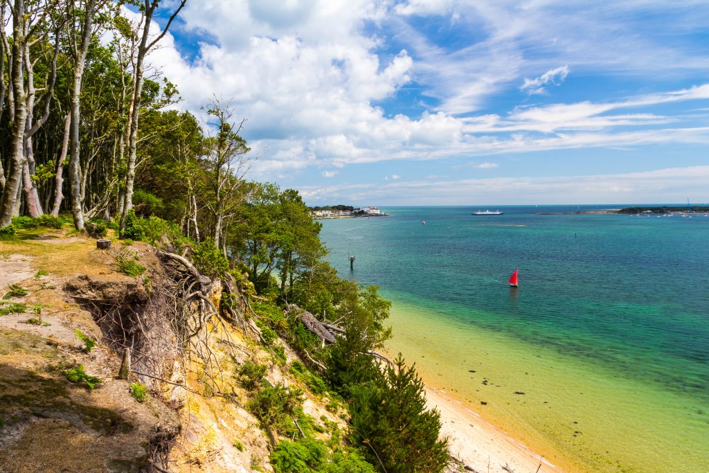
Brownsea Island is the largest island in Poole Harbour. However, at 1.5 miles long by 1.2 miles wide, it’s still pretty small; which means exploring the island on foot is nice and easy. And because there are no public cars allowed on the island, exploring on foot is your only option. Setting out from the ferry landing, there are several signposting walking routes to choose from, and you can pick up a leaflet at the National Trust visitor centre.
The island is well known as one of the only places in England to see red squirrels, which are no longer found on the mainland. The lack of cars and the tranquillity of the island make it a true nature reserve, and you can spot lots of wildlife including wading birds, sika deer, water voles, and more.
RELATED POST: 22 Things to do in Poole
11. Lyme Regis and Charmouth
- Distance: 4 miles*. Alternatively, you could return by bus to halve the walk.
- Start: Lyme Regis Town Council, DT7 3BS. There are several car parks nearby to choose from.
- Route Guide
*Due to inland diversions, this walk is actually closer to 5 miles now, but it’s still a pretty nice short circular so I’m keeping it here.
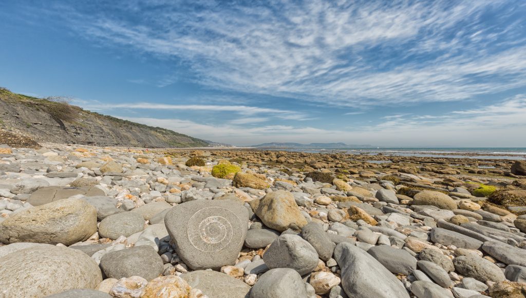
A popular coast walk in Dorset is to simply walk along the beach from Lyme Regis to Charmouth, hunting for fossils. Birthplace of famed palaeontologist Mary Anning, the beach between these two coastal towns is a hotspot for fossils. Whole skeletons have even been discovered here!
To make a full walk of it, you can follow the South West Coast Path over the cliffs from Lyme to Charmouth. You’ll cross the golf course above Timber Hill and the woodland on Fern Hill, before descending into Charmouth. From here, you can take a bus back to Lyme to make the walk even shorter, or walk back along the beach beneath the fossil-rich cliffs known as The Spittles.
READ MORE: Fancy staying in the area? Check out my list of beautiful holiday cottages in Lyme Regis.
12. Scratch Arse Ware and Dancing Ledge
- Distance: 3.5 miles
- Start: Spyway Car Park, Langton Matravers, BH19 3HG
- Route Guide
- Alternative: 5.5 mile cicular from Durlston in Swanage
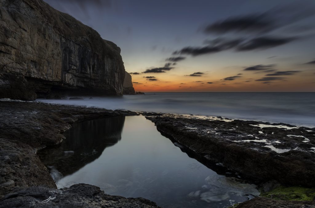
Dorset is full of amusingly named places, and Scratch Arse Ware has to be one of the best! A “ware” is a local word for land used as rough grazing, and it’s been suggested that the name of this one has something to do with the large amounts of scratchy gorse found growing here!
This walk will take you from the Dorset village of Langton Matravers, across limestone grassland and the notorious Ware, down to Dancing Ledge. This is a flat ledge of rock at the foot of a cliff, once used as a dropoff for ships collecting Purbeck limestone from the nearby quarries. It’s named for the effect caused at certain stages of the tide, when the bobbing waves seem to “dance” over the ledge.
13. St Albans Head
- Distance: 4.1 miles
- Start: Renscombe Car Park, Worth Matravers, BH19 3LL
- Link
St Albans Head, also called St Aldhelm’s Head, is one of the best walks on the Dorset coast – especially if you’re after a great view. The headland is the most southerly part of the Purbeck peninsula, and juts out into the English Channel, affording spectacular views along the coast in both directions.
This particular walk traverses most of the headland, passing Winspit Quarry as you make your way down from Worth Matravers to the coast. Inside the disused quarry are man-made caverns at the foot of high rocky cliffs, today home to colonies of bats. You’ll keep following the coast around to St Alban’s head, then curve back along the headland to climb Emmetts Hill for a spectacular view of the neighbouring cove, Chapman’s Pool.
14. Fleet Lagoon Circular
- Distance: 4 miles
- Start: Meadow Close bus stop, DT3 4EQ. There is limited road parking on nearby East Street and West Street. Alternatively, you could park at the Lugger Inn if you’re planning on eating and/or drinking there after the walk. Just be sure to let the staff know.
- Link
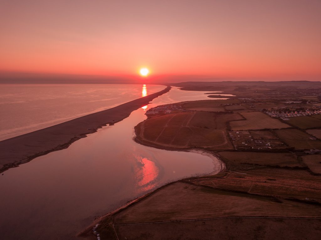
Many of the coast walks in Dorset have connections to smugglers and pirates, and this walk around Fleet Lagoon is no exception. The Fleet, a lagoon which lies between the sandbank of Chesil Beach and the mainland, lends its name to the swashbuckling classic Moonfleet*, which is set in the area. Although it’s a work of fiction, it was inspired by the very real history of smuggling which was rife along this section of the coast.
This circular route sets out from Chickerell in Weymouth and down through Fleet Wood, passing the spectacular Moonfleet Manor on the way to the coast. Next, you’ll head back alongside the lagoon, with some stunning views of Chesil Beach – as well as ample opportunities to spot birdlife in the nature reserve. On your way into the hamlet of East Fleet, be sure to pop into Old Fleet Church. This tiny church, which was partly destroyed in the Great Storm of 1824, is also featured in the novel Moonfleet.
*READ MORE: 16 Fiction Books Set in Dorset
15. Hounstout and Chapman’s Pool
- Distance: 3.5 miles*
- Start: The Scott Arms Pub, Kingston, BH20 5LH. Car parking is at the rear of the pub.
- Route Guide
You have to love a coastal walk that starts and ends in a pub! And The Scott Arms in Kingston has arguably one of the best beer garden views in the whole county, overlooking the stunning Purbeck countryside, so it’s the perfect place to unwind with a well-earned beer.
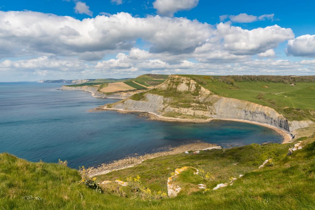
Before you settle in for a pint or two, though, head out for one of the best Dorset coast walks. Turn right from the entrance of the pub and follow signs for Encombe, then follow the track signposted Hounstout. The top of this tout affords a staggering view of Chapman’s Pool below; a perfectly curved cove backed by high limestone cliffs and rocky coves. If you’re feeling energetic, you could also extend the walk by descending down into the Pool to explore (click here for the route guide). Finally, return to the Scott Arms to relax in the beer garden with a local Dorset beer and some pub grub!
Read More
11 Best Short but Scenic Countryside Walks in Dorset
10 of the Best Dog-Friendly Hotels in Dorset
Must-See Attractions on Dorset’s Jurassic Coast
Are there any other short coastal walks in Dorset you think people should know about? Scroll down to leave a comment!



We are planning our second visit to Bridport. Your information on walks and links look fantastic. You have given us loads of ideas. Thank you.
Oh that’s awesome to hear! I hope you have a brilliant time 🙂 If you need anything else to do nearby let me know and I’m sure I can give some more suggestions!
I found this website by chance as I’m always looking for new walks in my home county of Dorset and these are some great ideas with lovely photos. I’ve walked all the Doset coastal path so know all these walks well. The only place I’ve still to visit is Brownsea Island – it’s an hour’s drive from my home plus the ferry and as dogs are not allowed on the island I would have to leave my dog at home for far too long. I guess I’ll have to look for doggy care one day. On another point: you state that “Tyneham was abandoned..” That’s strictly not true- abandoned it was not. The village was requisitioned by the War Office in 1943 and the villagers forcibly evacuated, including the residents of the Manor House with the promise that they could return after the war. That promise was never kept and in the 1960s-70s there was a campaign to try to allow the villagers to go back. The campaign failed and I wonder if there is anyone alive today who once lived there. As it’s now 78 years since the evacuation, it’s possible there are still one or two with childhood memories of the village. . Tyneham today is a poignant reminder of the price of war – a place that was alive and lived in for centuries lies still and empty; yet the memory of its children can be still be felt in the restored one-roomed school and the still-standing church evokes the centuries of worship that took place within its hallowed walls, the village dead still resting within the graveyard. And, in spite of it all, Tyneham as it exists today is surrounded by some of the most stunningly beautiful coastal landscapes not just of Dorset but of anywhere. And the presence of the Army has ensured that landscape has been preserved intact – there are no ugly caravan sites here!! And so, out of the bad has come some good..
Hi David, thanks so much for reading and commenting 🙂 I love Brownsea Island, highly recommend it if you can find someone to look after your dog for half a day or a bit longer. It’s a lovely day out. Although it seems a shame not to allow dogs there I totally get why, it’s a tiny place and they’re trying to keep the nature reserve safe – especially those rare red squirrels!
I know the whole history f Tyneham well, I’ve ben many times – and I actually still have somewhere a little project my friend and I made about Tyneham when we were in school (MANY years ago now)! It’s a fascinating place. I only had a short space in this post so I didn’t go into details about the village, it was abandoned in that’ll the residents had to leave and didn’t come back, and today no one lives there, which would be my definition of abandoned. I think I remember reading that the last resident who still remembered living there died a few years ago and was buried in the graveyard there – but I may be misremembering that. I go into a bit more detail about Tyenham in another page on this site where I had more room, and I’m planning to write an entire article about it when I have time. Maybe I’ll dig out that old school project!
I can’t THANK YOU enough for your amazing site. I used it exclusively to plan our day of hiking in Dorset. It’s concisely written, and the map was a bonus! I feels so prepared to see that beautiful part of your country.
Jan Turner
Hi Jan, I can’t tell you how happy this comment has made me! I love Dorset so much so it’s always nice to know I’m helping people plan trips here. When will you be visiting?
I really hope you enjoy my beautiful county 🙂 🙂
What a great walk, we did the Old Harry Rocks walk and your guide was faultless, made it so easy to follow. We wished we had longer in Dorset to do some of the others on your website. We will definitely be back to Dorset and most certainly be taking up some more of your walks
Thanks so much Emma, glad the guide was useful. It’s a gorgeous area isn’t it? I love Ballard Down in summer when it’s covered with wildflowers.
Hi Emily
I have always wanted to do the walk from Hardy Monument to Littlebredy and have never been able to find suitable instructions so as soon as the weather improves! and we have lighter days I will be able to make use of your clear instructions
Thank you in advance
Hi Trish! Thanks so much for commenting – I’m glad you found this helpful! Hoping we get some pleasant weather soon as I really want to do this walk again myself – you get some stunning views on this one!