
All my posts about travel in Dorchester! As Dorset’s county town, Dorchester is steeped in history and culture, with roots dating back to Roman times.
This charming town offers a wealth of attractions, from the ancient Maiden Castle to the fascinating Dorset County Museum. With its mix of historic sites, quaint shops, and lovely parks, Dorchester is perfect for a leisurely day out.
You’ll find some of my top posts about Dorchester below – or scroll down to see all the posts in this category…
Top Posts About Dorchester
- 25 Things to do in Dorchester
- 9 of the Best Walks in Dorchester
- Dorchester Historic Town Centre Walk
Food and Drink
Best Coffee Shops in Dorchester
- Bonjour Cafe Poundbury
- Fables and Food
- Finca
- Taste Café at Dorset Museum
- Mina’s Deli
All Posts about Dorchester
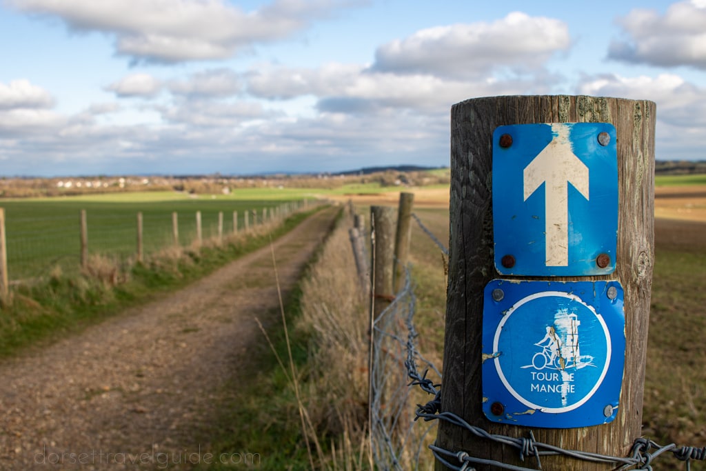
A collection of some of the best walks in Dorchester – from short loops around the town centre to longer trails in the nearby countryside.
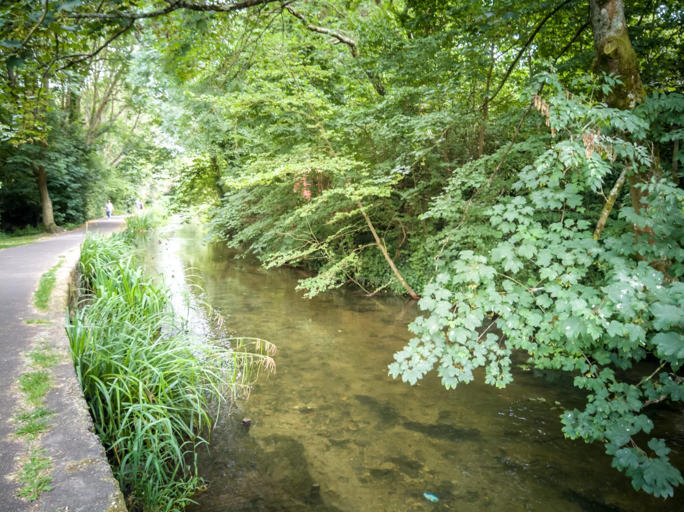
Discover Dorchester and the Frome Valley with this short circular river walk from the historic town centre to the River Frome.
Read More… Dorchester River Walk: Roman Villa, Town Centre & Frome Valley
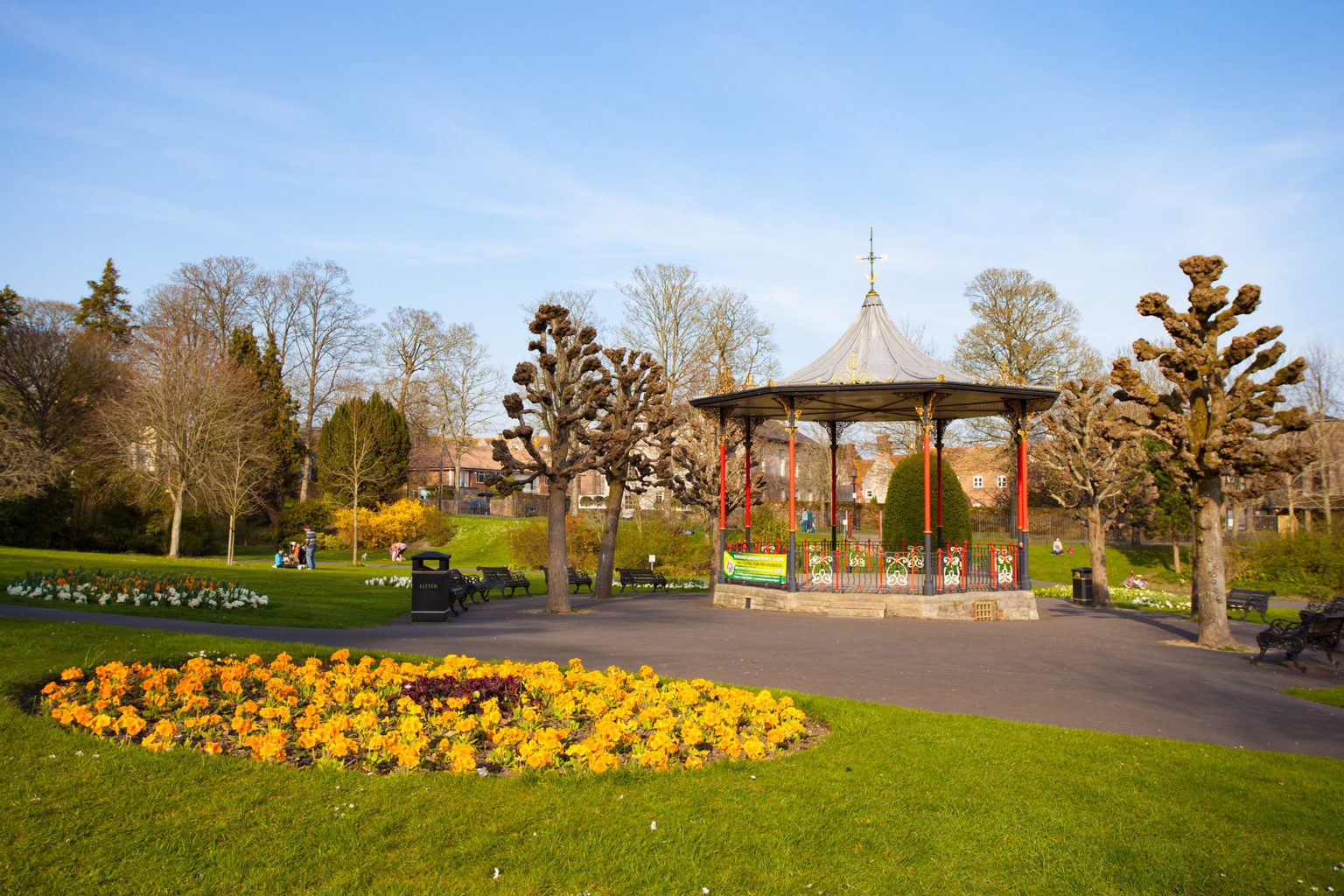
A short circular walk around historic Dorchester – incuding the town centre, Maumbury Rings, and the Ancient Roman Walls…
Read More… Dorchester Walk – Discover the Historic Town Centre
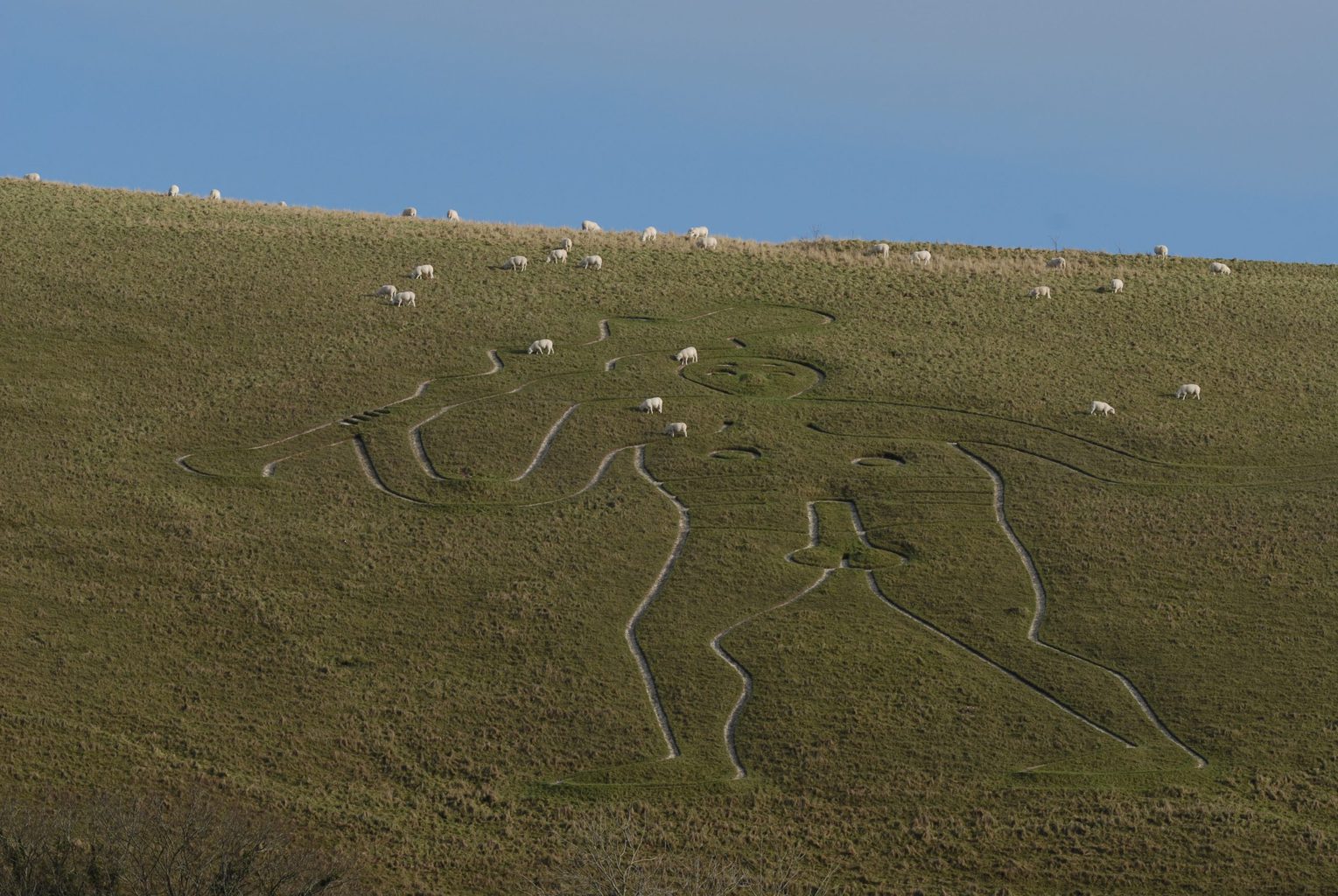
This circular Cerne Abbas walk is a short route taking you up to the famous Giant, around Giant Hill, and past some of the prettiest sites in the village.
Read More… Cerne Abbas Walk – 2.8 Mile Village and Giant Circular

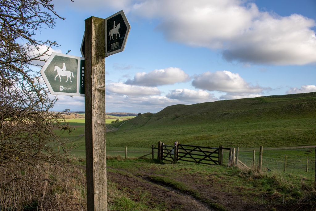
This circular walk from the Hardy Monument to the picturesque village of Littlebredy heads through some of the prettiest countryside near Dorchester.
Read More… Hardy Monument to Littlebredy Walk – 9 Mile Circular
A 5mile (8km) circular Maiden Castle Walk starting at the heart of Poundbury and heading across picturesque farmland to reach the Iron Age hillfort.
Read More… Maiden Castle Walk – 5 Mile Circular from Poundbury

A local’s round up of the very best places to eat in Dorchester, Dorset – from pubs and restaurants to cute tearooms!
A local’s guide to the best things to do in and around Dorchester in Dorset – PLUS a list of festivals and events for your diary!