Some posts on this site contain affiliate links. If you book or buy something through these links, I earn a small commission (at no extra cost to you). Take a look at my privacy policy for more information.
This circular walk from the Hardy Monument to the picturesque village of Littlebredy heads through some of the prettiest countryside near Dorchester. It’s a bit of a challenge, but the steep climbs are worth it for the views.
Along the way you can see some of the numerous stone circles and earthworks that dot this area. Soak up the sweeping views down to the Jurassic Coast and Abbotsbury and wind through idyllic farmland to reach the village of Littlebredy – where you can pay a visit to one of the only waterfalls in Dorset! And you’ll start and finish at the incredible viewpoint of the Hardy Monument.
Dorset is well known for its connections to Thomas Hardy, but did you know there’s actually a second famous Thomas Hardy who also hailed from this part of the UK? The Vice-Admiral Sir Thomas Hardy served with Admiral Nelson at the Battle of Trafalgar – the very same Hardy from Nelson’s famous dying words “kiss me, Hardy.”
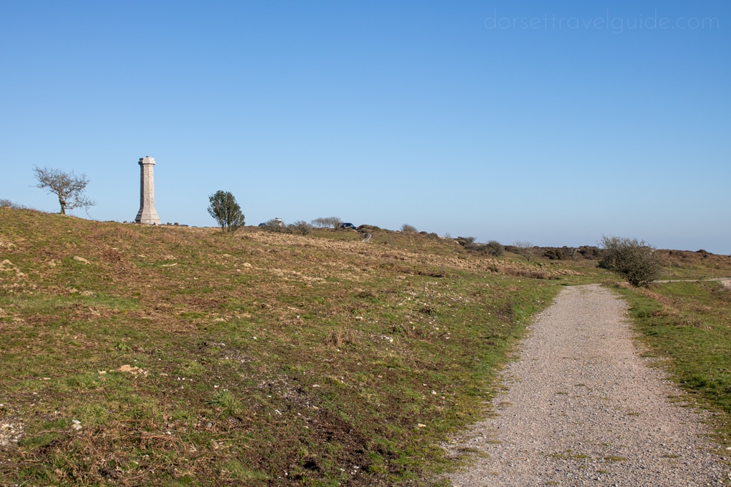
The Hardy Monument was built in his honour in 1844. The small tower stands on a hilltop near his birthplace of Portesham, offering some of the most incredible views of the rolling hills around Dorchester. It’s also the start point for several excellent walks – like this 9 mile circular to the village of Littlebredy. Enjoy…
Hardy Monument to Littlebredy Walk – Details and Map
- Distance: 14km / 9 miles
- Time: 3.5 – 4 hours
- Elevation: 88m lowest – 264m highest
- Difficulty: Moderate
- Accessibility: Several stiles, a few off-road paths and cuts across grass fields, and a few steep hills (up and down). There are also stepping stones over a very shallow stream at one point.
- Parking: Free parking at the Hardy Monument National Trust carpark (DT2 9HY).
To make following this walk easier, feel free to use my GPS trail route on Wikiloc. It’s a free app where people can share hiking, biking, and other routes! You’ll probably still find my instructions below helpful, though.
Hardy Monument to Littlebredy Walk Instructions
Step One – Hardy Monument
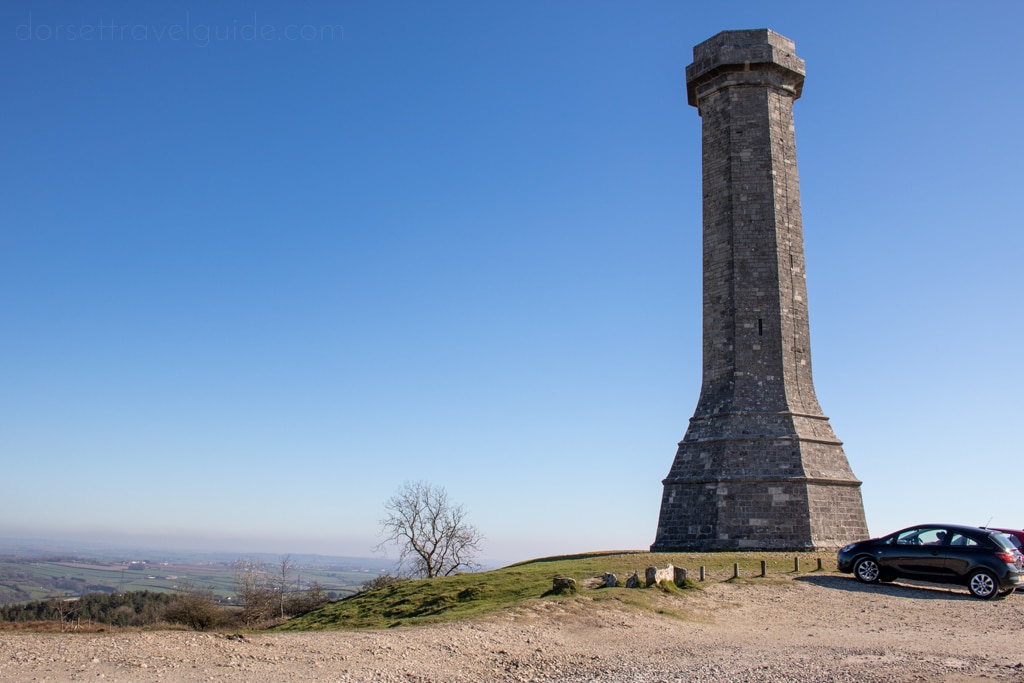
Start from the free National Trust carpark at the Hardy Monument. The tower is managed by the National Trust, and during summer it’s open on certain days for a small fee. So before setting off on your walk, you can head up to the parapet for some of the best views around.
Facing the road in the carpark, take the path on your left signposted Inland Route / South Dorset Ridgeway. The trailhead is opposite the Hardy Monument. Follow the track down towards the trees, until you reach a gate at the entrance of the woods. Go through the gate and turn left, following the sign for West Bexington.
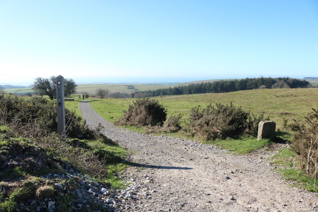

At the bottom, you’ll come out of the woods to see a ruined building on your left. Turn right and head to the stone stile marked with a yellow arrow marker for the South Dorset Ridgeway.
Cross the stile into a fenced-in path between two fields, then follow this path uphill until you reach Portesham Hill road. About halfway up, you can take a short optional detour to the left to view the Hell Stone, a neolithic dolmen (stone-topped burial tomb).

Step Two – Hampton Down Stone Circle
At the top of the hill, pass through a metal gate and cross the road, following the track signposted for Abbotsbury Hill Fort past a farm. Continue straight along this track, keeping right at the fork, until you reach the Hampton Down Stone Circle.
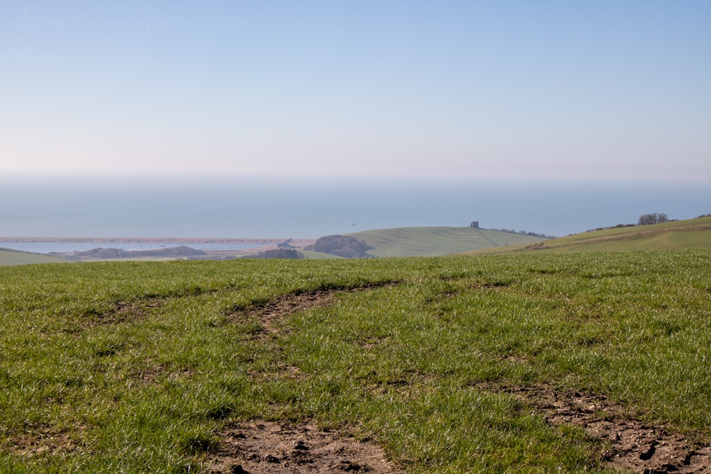
This is an ancient stone circle, probably constructed between 1800-1200BC. It was excavated in 1965 and the stones were re-instated into their original sockets. From here, the views down to Chesil Beach and the hilltop St Catherine’s Chapel near Abbotsbury are exceptional.
Continue along the path, following the yellow arrow markers and signs for West Bexington.
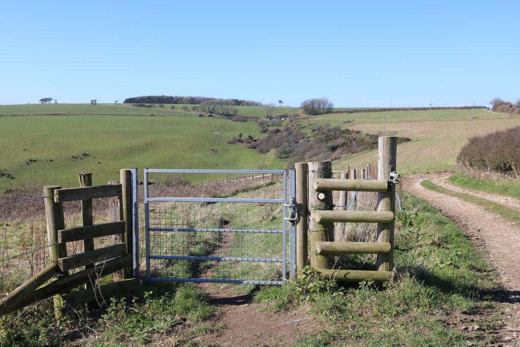
Step Three
When you reach Bishop’s Road, turn right and follow the road a little way up. Then take the first left turn, following the green signpost for Kingston Russel Stone Circle.

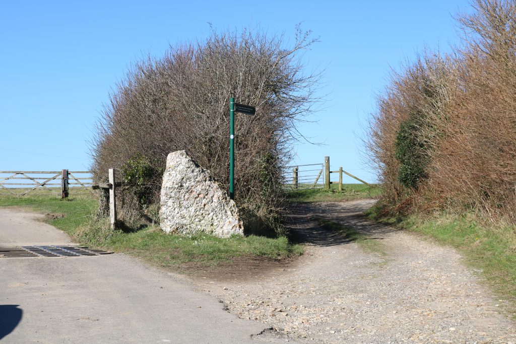
Where this road forks just before a cattle grid, take the right fork along a stone track, then turn left through a metal gate following the blue arrow marker and an English Heritage arrow marker. Keep straight on through three fields.
The second field on your left contains the long barrow known as The Grey Mare and her Colts – you can detour to this if you like, then return to the main path and keep heading straight.
Step Four – Kingston Russel Stone Circle

You will come to a junction of tracks at the entrance to the field containing the Kingston Russell stone circle. The entrance is clearly signposted, and there is also an information board with a bit of history. Cut across the field to the stone circle, which makes an ideal spot to stop for a picnic as the views are fantastic! Just remember to take all your rubbish with you as there are no bins.
This wide circle is believed to date back to the later Neolithic or Early Bronze Age, some 4,000 years ago! It’s one of just four stone circles in south Dorset.
Continue bearing slightly right diagonally across the field to a metal gate opposite the stone circle. Keep an eye out for buzzards which can often be seen gliding in this area.

Go through the gate and bear slightly left, passing grassy prehistoric earthworks on your left, then cutting diagonally left down a steep grassy hill.
At the bottom, you will reach a dirt track that heads back towards the farm you will have spotted away to the right as you headed downhill. Step onto this dirt track (be careful of the electric fences) and turn left.
Follow the track until you reach a simple gate on your right, waymarked with a white Dorset Council Public Bridleway arrow. Bear left across this field to reach a gate in the far northwest corner, also signposted with a white arrow.
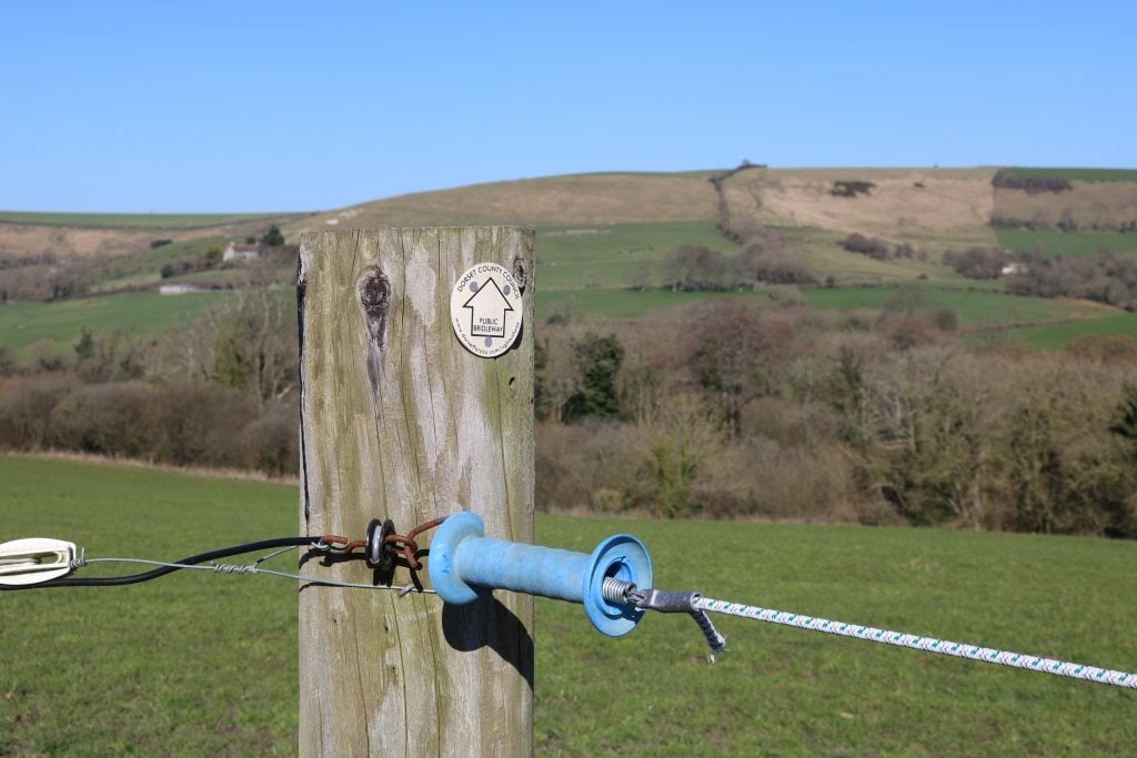
Step Five
Go through the gate, but don’t follow the direction of the arrow. Instead, cut diagonally right across the field to reach a small footbridge leading to a double set of gates on either side of a stream. Go through the first gate, cross the stream using some stepping stones just to your right, then go through the second gate.
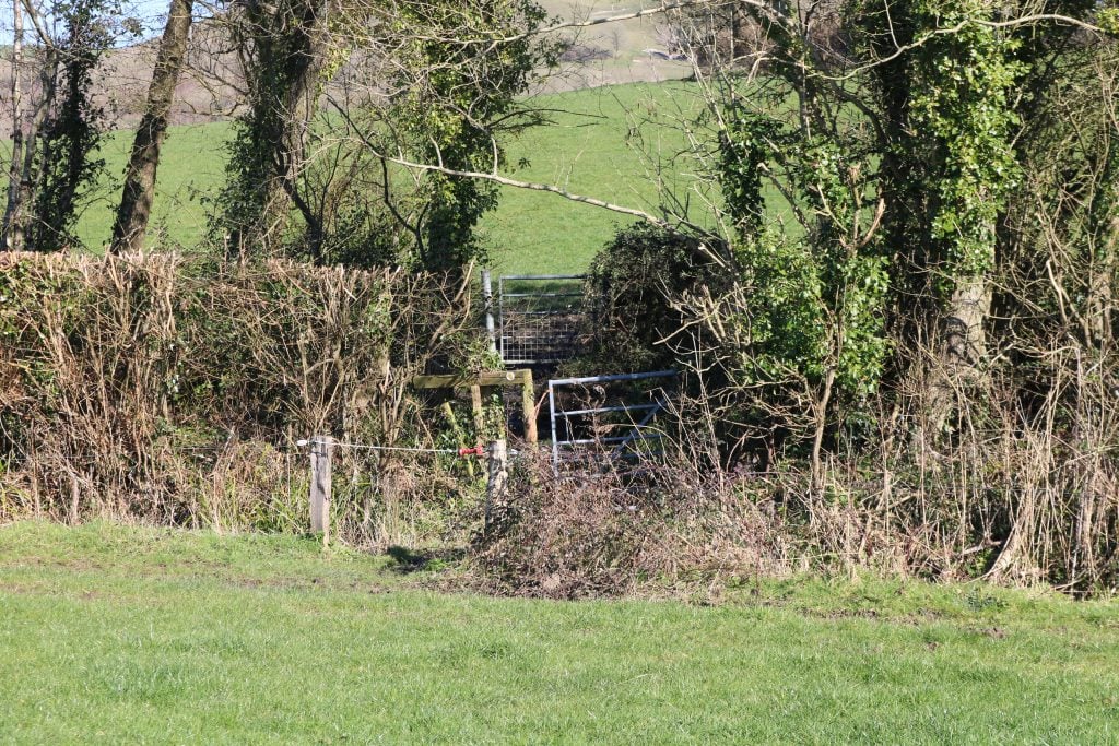
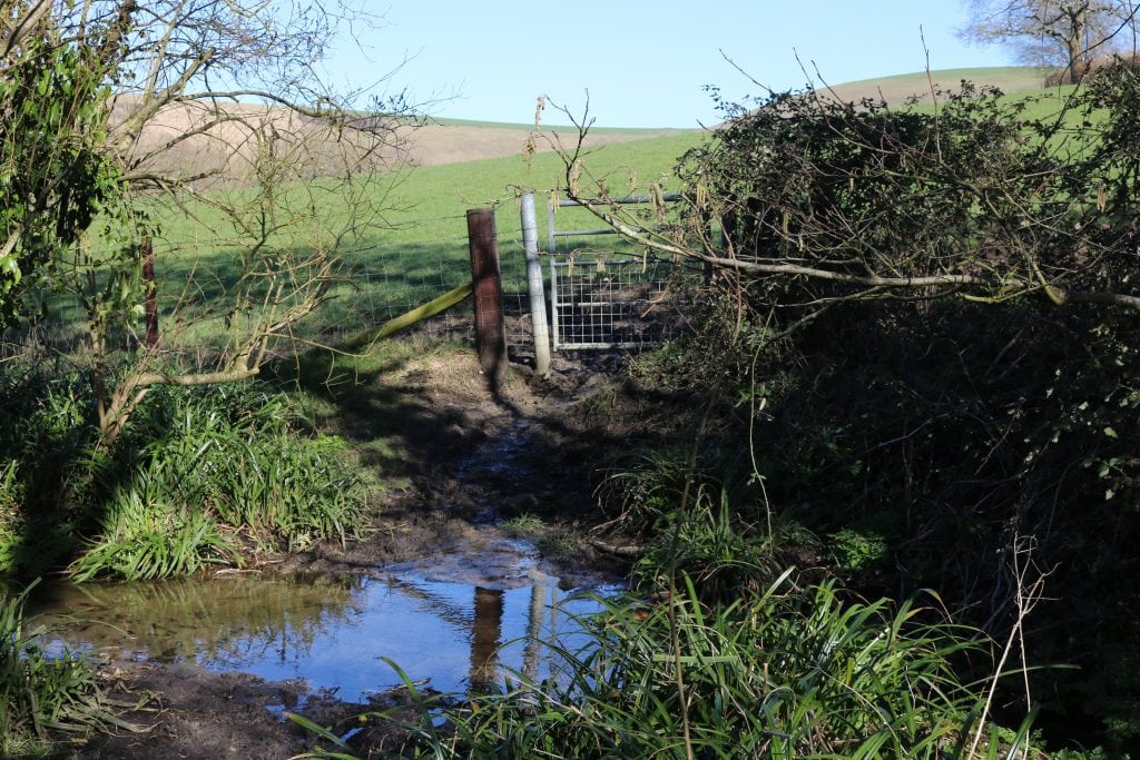
Walk straight ahead up the field, with the hedge on your right, until you reach another gate. Go through the gate and cut left across the field through some boggy ground to a gated footbridge across a shallow stream.
Cross the stream, then turn left and walk a short way to reach another bridge across a second stream. Cross this, then cut diagonally right across the field, heading slightly south-east with a wooded area on your right and a road on your left.
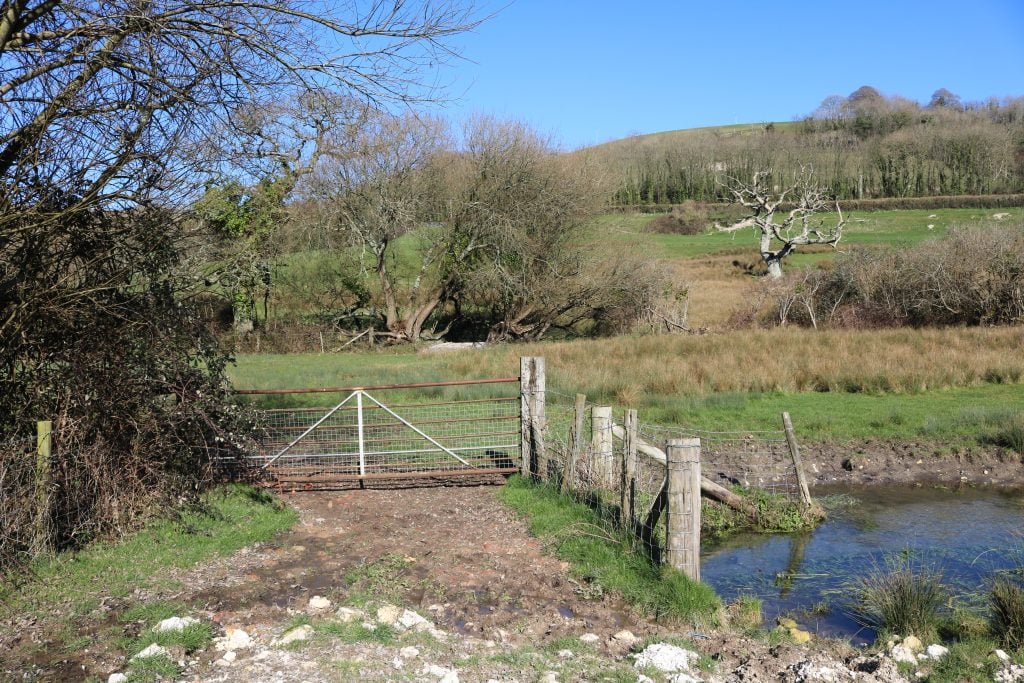

At the hedge, go over a stile waymarked with the yellow South Dorset Ridgeway marker and continue straight across the field towards the village of Littlebredy ahead of you.
Step Six
Cross a stile next to a Public Bridleway fingerpost in the bottom right corner of the field, then go straight on down an alleyway to the church.
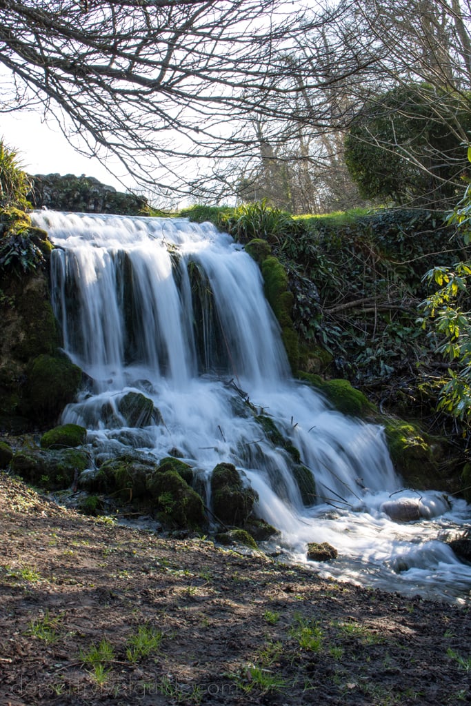
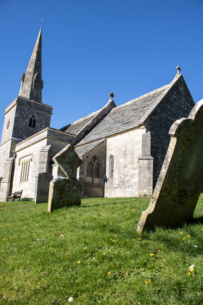
At the church, you can take another optional detour, following the signpost to Bridehead. Here you’ll find one of the only waterfalls in Dorset, a very pretty one tumbling down from a large lake on the grounds of a stunning stately home. This was a filming location for a pivotal scene in Broadchurch season 3, so you may recognise the area! It’s another great picnic spot if you’re in need of a break.
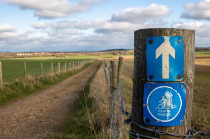
Head back to Littlebredy Church and follow the path out onto the road. Turn right and follow the road down to a junction. Bear right following a blue Cycle Route sign for the Tour de Manche bike path. On your right, you will have a stunning view of the house at Bridehead.

Step Seven
Continue along this road, past a picturesque cricket ground on your right. Eventually, you’ll come to Crow Hill Cottage. Follow the road round to the left here and up a long hill.
At the junction at the top of the hill, turn right and follow the road a short way. Just after a bridleway signpost on your left, turn left onto a track leading down to some woods.
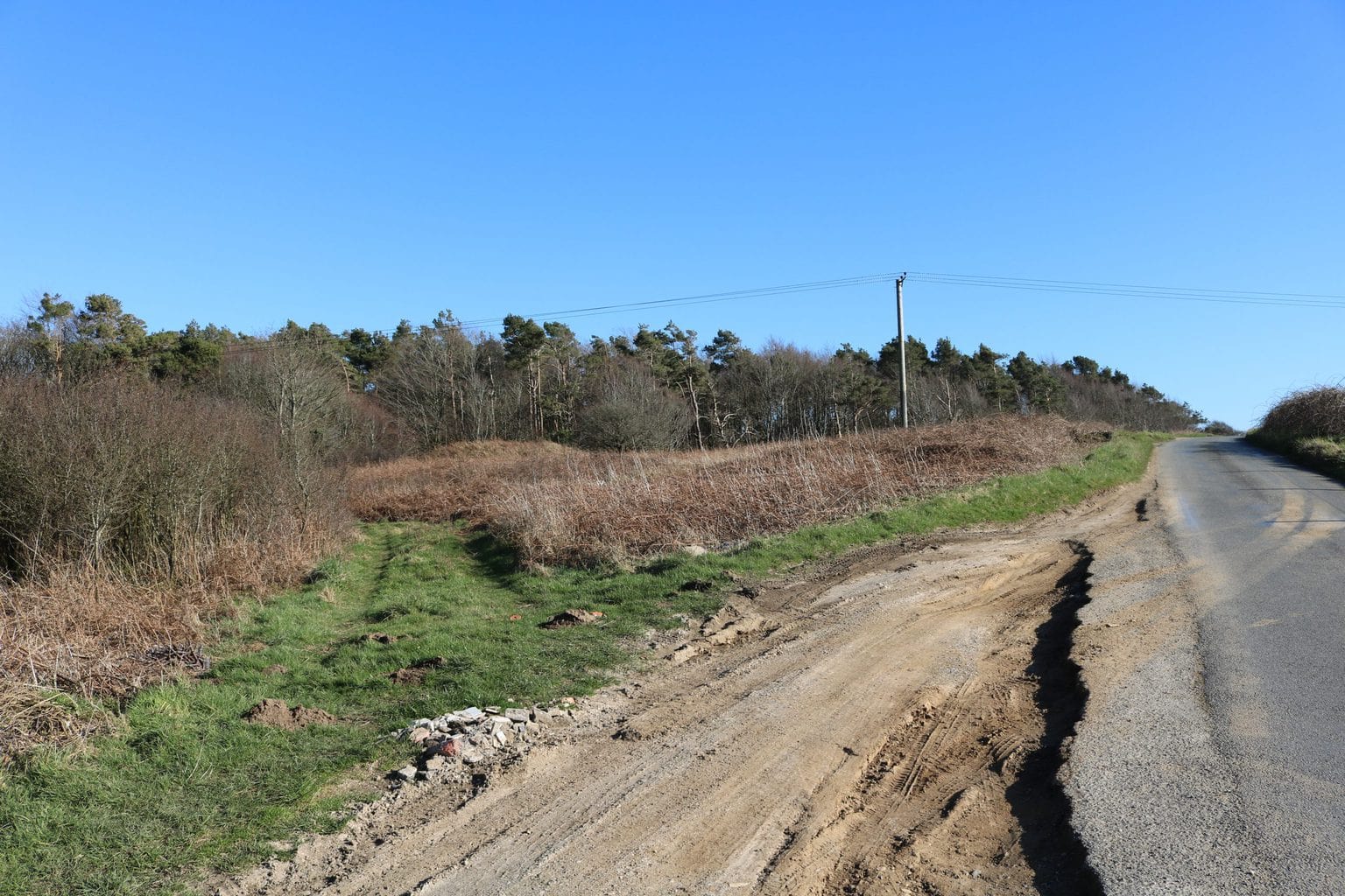
Follow this path around the edge of the woods. Then, cross over Coombe Road and continue straight ahead along the woodland track.
Step Eight
After a short, steep climb you will see a gate on your right. Head through this and follow the track right, passing through another gate, until you reach a circle of stone sculptures at the Black Down carpark.
This sculpture was created by artist Amanda Moore as “a modern interpretation of the ancient monuments on the South Dorset Ridgeway”. One is aligned with true north, and the other four with the midwinter and midsummer solstice sunrises and sunsets. The views from this point are exceptional.
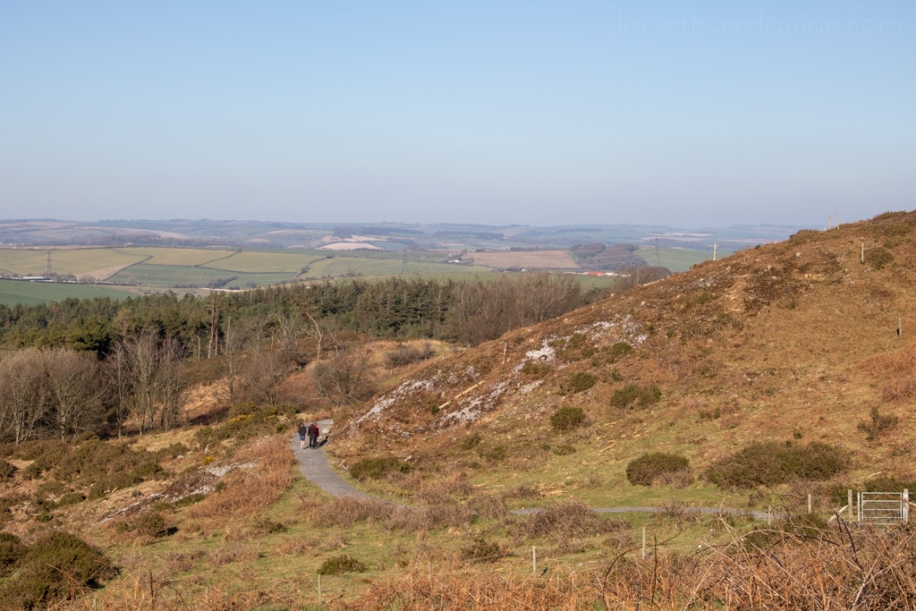
Follow the track left from the stone circle, until you reach the road. Cross over the road and take the path forking left back towards the Hardy Monument. If you have any energy left, there are several tracks you can take here to explore a bit more of the hillside around the monument.
The views from the monument and the hillside are truly some of the best in Dorset, so do take time to enjoy them before getting back in your car!
I hope you enjoy my Hardy Monument to Littlebredy circular walk! If you have any questions, feel free to get in touch or leave a comment below!


