Some posts on this site contain affiliate links. If you book or buy something through these links, I earn a small commission (at no extra cost to you). Take a look at my privacy policy for more information.
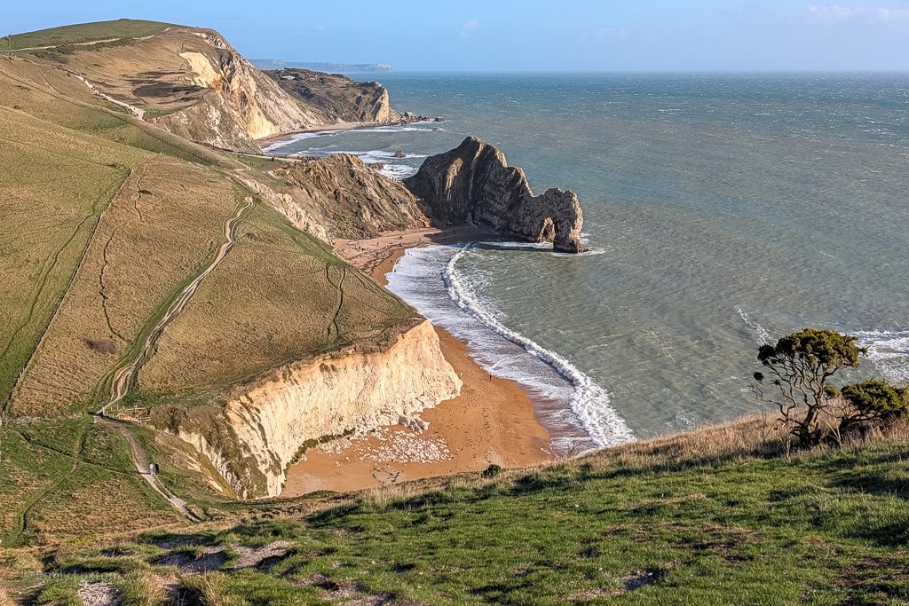
Walk the coast path from Ringstead via White Nothe and rollercoaster cliffs to reach Durdle Door, returning via an inland path.
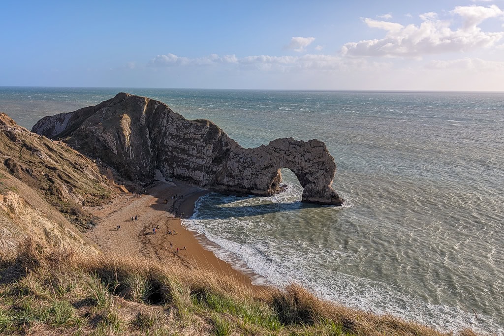
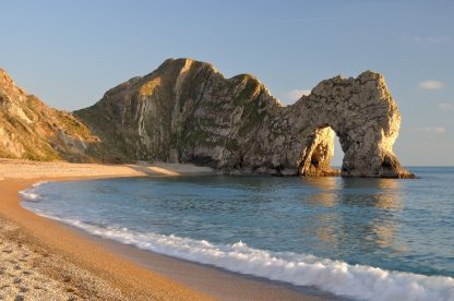
Striking out from the car park above Ringstead Bay, you can walk one of Dorset’s most beautiful stretches of coast path. Take in the clifftop views at White Nothe, then tackle the gruelling climbs of Bat’s Head and Swyre Head, dip through the valley of Scratchy Bottom (yes, that’s really what it’s called!), and reach the famous rock archway of Durdle Door.
The return journey cuts across farmland and grassy downs along an inland ridge for sweeping views. It’s a tough walk in places, with steep ascents and descents on the coast path, but the effort pays off with some of the best coastal views in Dorset.
NOTE: You can do this walk in either direction. This version takes the coast path out to Durdle Door and returns inland; it gets the steepest climbs out of the way early, but is mostly uphill (and slightly less scenic) on the way back. You can also do the route clockwise, taking the inland path out to Durdle Door and returning via the coast path; click here for the instructions.
Details and Map
Distance: 8 miles
Time: 4 – 5 hours (allow extra time to stop at Durdle Door)
Elevation Gain: 1,152 ft
Difficulty: Moderate-Hard
Accessibility: A few stiles, uneven paths, and several steep sections. The beaches are reached via stairs (optional).
Terrain: Gravel lanes, grass tracks and dirt paths.
Parking: National Trust Ringstead Bay Car Park (free for members) – click here for location. Please note this is the clifftop car park, not the beach-side Ringstead Bay Car Park, which significantly extends the walk.
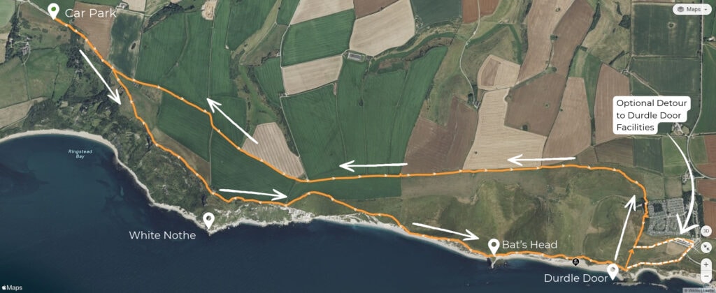
Ringstead to White Nothe and Durdle Door Walk
Starting Point: National Trust Ringstead Bay Car Park, DT2 8NQ (click here for the Google Maps location)
Step 1: Ringstead to White Nothe
At the far end of the car park, go over the stile and follow the gravel track downhill. After about 500 metres, the path curves right to slope downhill towards the sea: don’t follow it. Instead, head through the right-hand wooden gate ahead (see photo below) and follow the grass track diagonally across the field, passing a farmhouse to cut towards the clifftop.
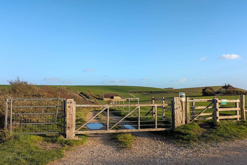
At the top, pass through a wooden kissing gate to reach the cliff-top coast path. The path meanders along the Undercliff towards a row of former coastguard cottages on the top of White Nothe.
NOTE: The coast path along the Undercliff is narrow and close to the cliff edge in places, but it’s a commonly walked route and has stunning views. Use caution, especially in wet conditions, and follow any warning signs or diversions.
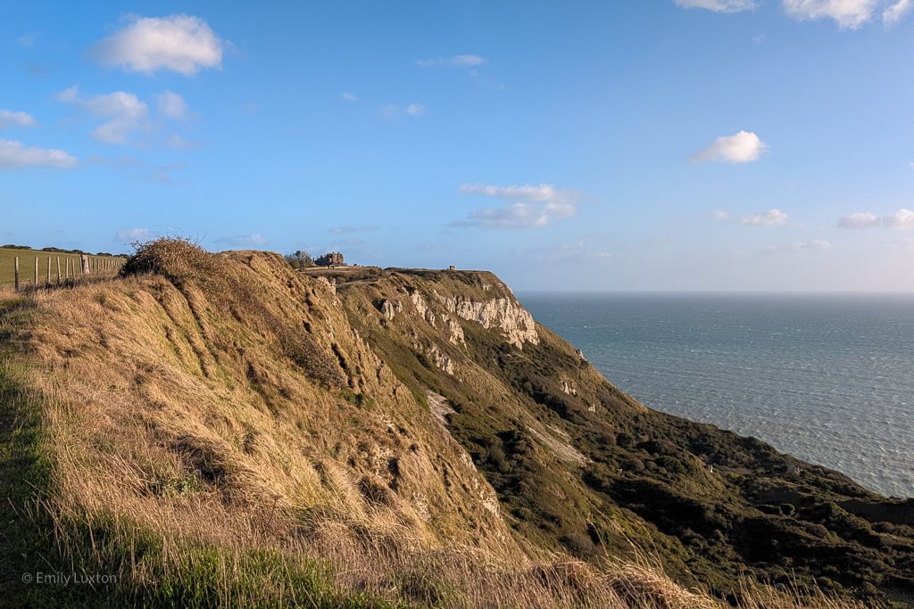
Once you reach the cottages, look out for a narrow path on your right. This short diversion leads to a WWII pillbox at the top of White Nothe with stunning views back towards Weymouth and Portland. Following the path to the left of the pillbox leads to a hidden bench with gorgeous views of the cliffs you’re about to walk.
Step 2: White Nothe to Bat’s Head
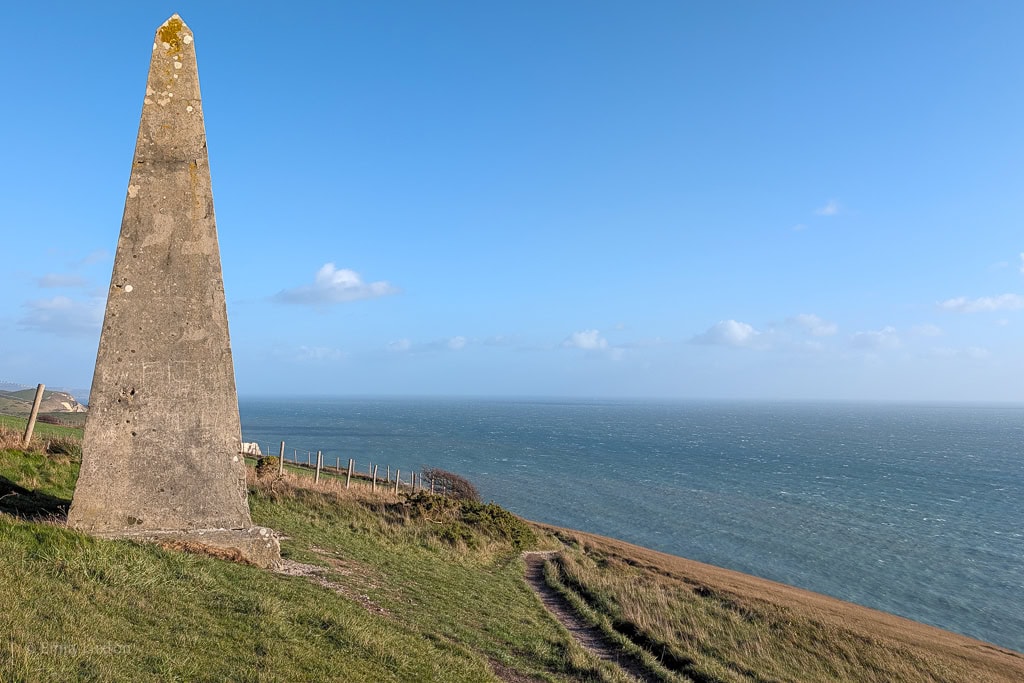
After exploring White Nothe, return to the cottages and turn right to keep heading east along the South West Coast Path. This section is fairly easy to follow; stick to the clifftop path, keeping the sea on your right, and look out for the acorn waymarkers.
The path curves along the coast path to reach a stone obelisk (see photo above). This tall, triangular marker was built in the early 1900s to aid ship navigation. Shortly after the obelisk, the coast path descends somewhat steeply towards sea level, before climbing very steeply up the next cliff: Bat’s Head. Turn around about halfway up this next climb for a fantastic view of the nose-shaped White Nothe headland behind you.
After a steep descent from Bat’s Head, you’ll pass Butter Rock, a towering sea stack in the bay below. It’s thought that the name may come from the yellowish hue of the chalk in some light.
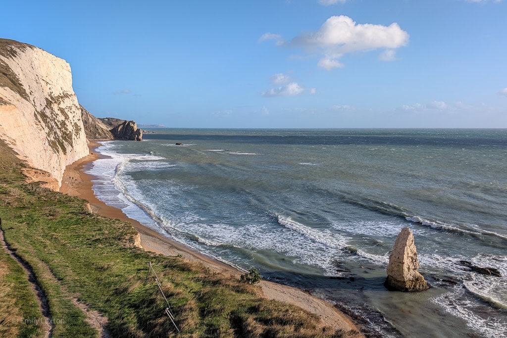
Step 3: Bat’s Head to Durdle Door
Almost immediately after reaching the bottom of Bat’s Head, the path climbs steeply up again, this time summiting Swyre Head (not to be confused with the cliff of the same name along the coast in Purbeck). Turn around as you climb for a view of the small rock arch in Bat’s Head behind you.
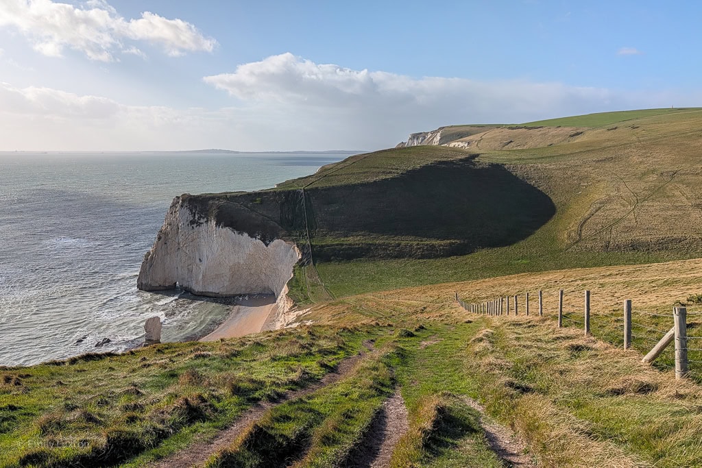
Pause at the top of Swyre Head for your first full view of Durdle Door ahead, before descending into the fantastically named valley of Scratchy Bottom. The path continues along the back of the beach to reach Durdle Door itself.
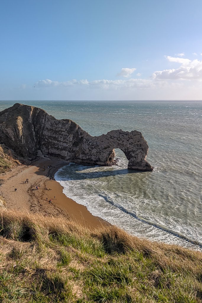
Near Durdle Door headland, steps lead down to the beach for a close-up view of the rocky arch. Opposite, another staircase leads down to Man O’ War Bay on the far side of the headland. Man O’ War Bay is usually more sheltered for swimming (if it’s warm enough) and generally less busy.
Step 4: Durdle Door to Daggers Gate Road
Once you’re finished on the beaches, return to the coast path via the steps, then turn left and double back a short distance, looking for a metal gate on the right. Go through the gate and follow the narrow path uphill, with the fence on your right, until you reach an intersection with a narrow gravel path. Turn around here for one of the best views of Durdle Door. Go through the gate on your right, then immediately turn left to follow the grass track over the hilltop.
DETOUR: If you want to use the facilities at Durdle Door Holiday Park, you can take a slightly longer route. From the top of Durdle Door steps, turn right to take the sloping gravel path uphill to the car park, where you’ll find public toilets (free), a coffee shop, and other facilities. At the top of the coast path, cut left across the car park to pick up a narrow gravel path leading back along the cliff, eventually reaching the wooden gate and Durdle Door viewpoint mentioned above.
Follow this path along the fence, then as it curves away to the right, eventually meeting a wooden gate which opens onto a gravel track. Turn right onto this track, then take the narrow path immediately on the left, which zigzags down through gorse to a small area of woodland.
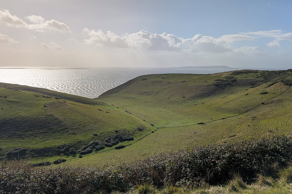
Emerging through a metal gate, cross the track and follow the grassy path uphill, which eventually curves left around the top of Scratchy Bottom. As you cross the back of the valley, the path forks; it can be hard to spot, but aim for the gate in the top back corner of the field ahead of you.
Step 5: Daggers Gate Road to Ringstead
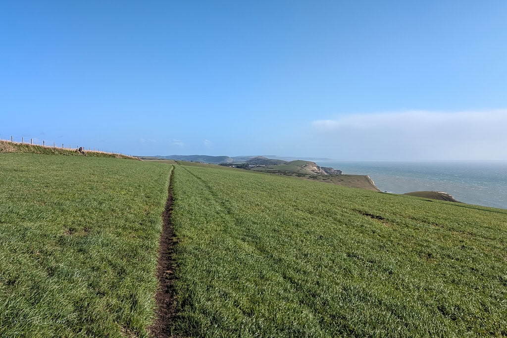
At the gate, the path merges onto the old route known as the Daggers Gate Road. It’s more of a grassy track than a road (see photo above). You’ll be following this path all the way back to Ringstead in more or less a straight line.
Go through the first gate and follow the Daggers Gate Road for about 1.2 miles across the top of three fields (passing through two more gates on the way). At the far side of the third field, you’ll reach a metal gate with a stone marker to the left; pass through this and follow the dirt track ahead across the top of another field, with stunning countryside views on your right. At the next hedgerow, the path bends right, then left again, heading downhill through yet another field to pass a thatched barn.
Shortly after the barn, you’ll reach a metal gate (next to the first wooden gate from step one). Head through it and take the dirt track ahead, which leads uphill back to the car park.
More Walks Nearby
Lulworth Cove to Durdle Door Walk